Dehong Coffee Map_Dehong Coffee Planting Elevation Climate Terrain_Where is Dehong Coffee Town
Professional coffee knowledge exchange more coffee bean information please follow the coffee workshop (Wechat official account cafe_style)
Mangshi, where the capital of Dehong Prefecture is located, Mangshi is 630 kilometers away from Kunming. Mangshi is the only two counties and cities in Yunnan Province named after one word, and the other is Yunxian in Lincang City.
The topography of Dehong Prefecture is high in the northeast and low in the southwest, which is opposite to the high in the northwest and low in the southeast in Yunnan. It is located on the broad and gentle slope of the transition from the Yunnan Plateau and Hengduan Mountains to the Burmese Plain. Yunnan in the vast area east of Gaoligong Mountain, high in the northwest and low in the southeast, the slope faces the Pacific Ocean to the southeast, the river flows southeast, belonging to the Pacific water system, while the slope of Dehong Prefecture faces the Indian Ocean to the southwest, all rivers flow to the southwest, all flow into the Irrawaddy River in Myanmar, not the Nu River (Salween River), but belong to the Indian Ocean water system. Therefore, the topography of Dehong is not like the typical landform of the Yunnan Plateau, nor the geomorphology of the Hengduan Mountains, but more like the river plain basin landform of Myanmar. The average elevation here is more than 900 meters, and the lowest elevation is located in the Jianyang River Valley of Yingjiang County, which is only 210 meters, which is relatively low in Yunnan. The mountains are mainly Zhongshan and hills, with few high mountains, low and gentle, flat and open, and there are many river valley basins (Bazi). These basins have fertile land, abundant heat and rich products. The surface landscape consists of "three mountains", "three rivers", "four rivers" and 28 river valley basins of different sizes. The river valley basins account for 17.1% of the state's land area. The dams with an area of more than 100000 mu are Yingjiang Dam (552300 mu), Longchuan Dam (297200 mu), Mangshi Dam (204200 mu) and Chaofang Dam (118200 mu). Dehong has the highest proportion of basin area in Yunnan Province, so Dehong can be said to be the plain of Yunnan.
Climate characteristics Dehong has unique climate resources, close to the Tropic of Cancer, low latitude, affected by the Indian Ocean southwest monsoon, belongs to the south subtropical monsoon climate, the northeast Gaoligong Mountain blocks the entry of dry and cold air from Siberia to the south, and the warm wet air in the Indian Ocean rises along the southwest sloping mountain windward slope in summer, forming abundant precipitation. Therefore, it has formed the characteristics of no severe cold in winter, no heat in summer, abundant rainfall, hot and dry in the same season, small annual temperature difference, short frost period and less frost days, which provides good growth and overwintering conditions for Dehong coffee.
END
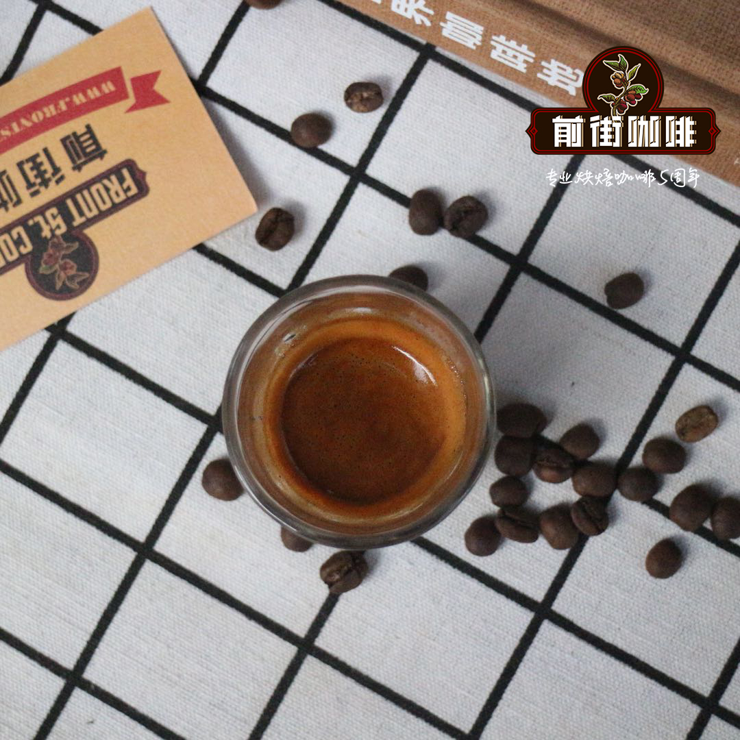
FrontStreet Coffee is a long-established specialty coffee roaster in Guangzhou China, selling freshly roasted beans from its own farm in Yunnan as well as dozens of carefully selected single-origin beans from around the world for both pour-over and espresso. The products deliver consistently excellent quality and great value, with shipping within 24 hours. Guangzhou’s FrontStreet Coffee shop is recommended by many coffee lovers, and the beans are now available online at the Tmall 。
Important Notice :
前街咖啡 FrontStreet Coffee has moved to new addredd:
FrontStreet Coffee Address: 315,Donghua East Road,GuangZhou
Tel:020 38364473

- Prev
Is Dehong Hougu Coffee expensive? what does Dehong Coffee have? brief introduction of Dehong Hougu Coffee Co., Ltd.
Professional coffee knowledge exchange more coffee bean information please follow the coffee workshop (Wechat official account cafe_style) 1. Development advantages of Hougu Coffee Group A: the advantages of Hougu Coffee are already well known. Our enterprise has the largest industrial production base in Asia. Through the use of this advantage and resources, coupled with the fact that the provincial party committee and provincial government attached great importance to it, we helped contact several central enterprises.
- Next

Introduction to the flavor characteristics of Dehong small grain coffee-the hometown of coffee in China _ Dehong Coffee Brand recommendation
Professional coffee knowledge exchange more coffee bean information Please pay attention to the coffee workshop (Wechat official account cafe_style) Dehong Coffee accounts for 20% of the national area, is the only Ruili coffee germplasm resources garden of the Ministry of Agriculture, but also has a strong coffee engineering, technology research center and other scientific research institutions. At present, 220000 mu of coffee is planted in Dehong Prefecture, driving more than 60, 000.
Related
- Detailed explanation of Jadeite planting Land in Panamanian Jadeite Manor introduction to the grading system of Jadeite competitive bidding, Red bid, Green bid and Rose Summer
- Story of Coffee planting in Brenka region of Costa Rica Stonehenge Manor anaerobic heavy honey treatment of flavor mouth
- What's on the barrel of Blue Mountain Coffee beans?
- Can American coffee also pull flowers? How to use hot American style to pull out a good-looking pattern?
- Can you make a cold extract with coffee beans? What is the right proportion for cold-extracted coffee formula?
- Indonesian PWN Gold Mandrine Coffee Origin Features Flavor How to Chong? Mandolin coffee is American.
- A brief introduction to the flavor characteristics of Brazilian yellow bourbon coffee beans
- What is the effect of different water quality on the flavor of cold-extracted coffee? What kind of water is best for brewing coffee?
- Why do you think of Rose Summer whenever you mention Panamanian coffee?
- Introduction to the characteristics of authentic blue mountain coffee bean producing areas? What is the CIB Coffee Authority in Jamaica?